How Will NISAR’s Launch Revolutionize Global Earth Observation?
Published: 2025-08-06

Science Insights from TOI Science Desk
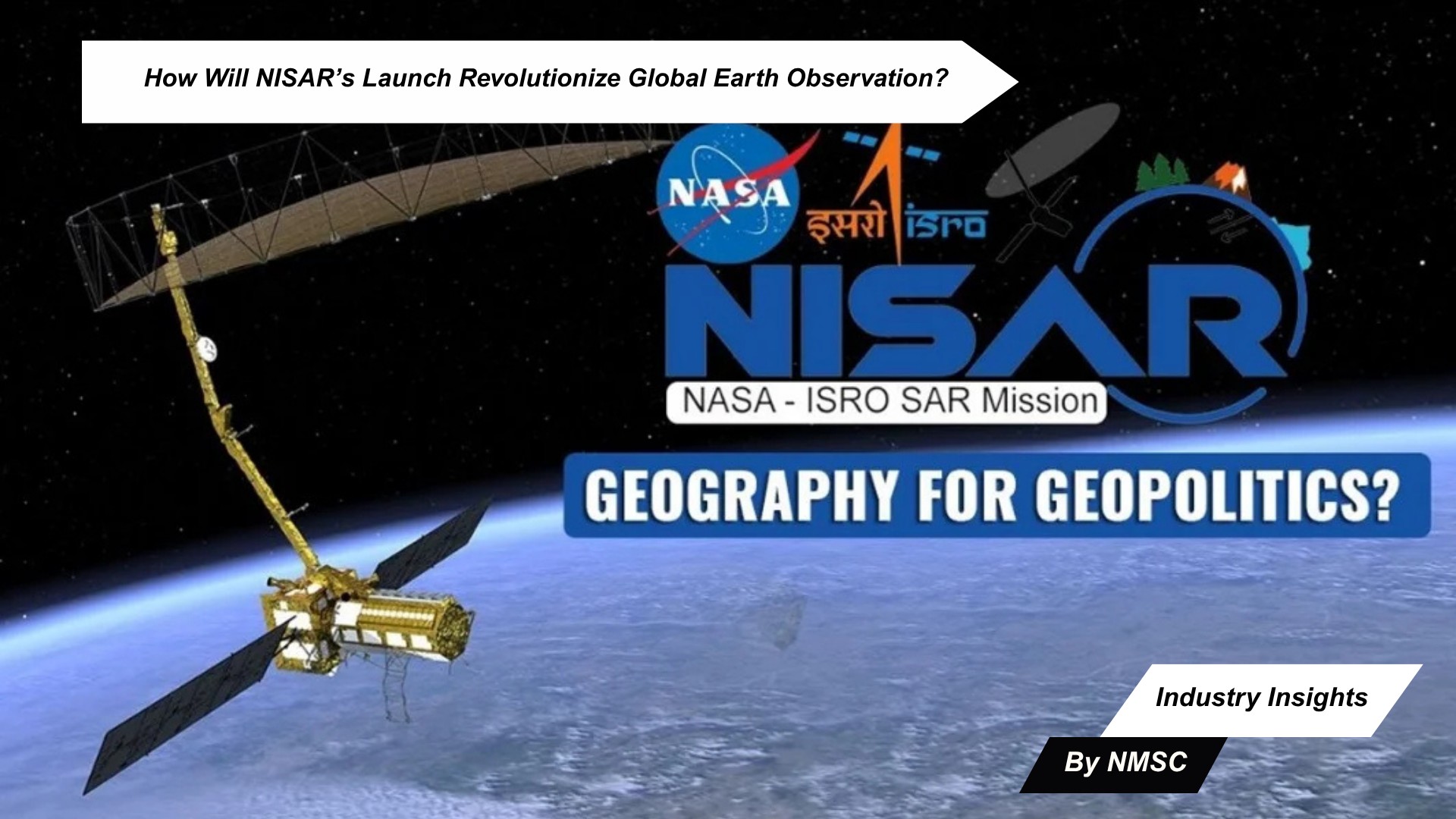
As the world grapples with escalating climate challenges and natural disasters, the NASA-ISRO Synthetic Aperture Radar (NISAR) satellite, set to launch on July 30, 2025, promises to redefine Earth observation. This joint mission between the Indian Space Research Organisation (ISRO) and the US National Aeronautics and Space Administration (NASA) introduces cutting-edge technology to deliver high-resolution, all-weather imagery, empowering global efforts in climate monitoring and disaster management.
A Leap Forward in Earth Observation Technology
For decades, Earth observation has been limited by weather conditions and daylight constraints. NISAR breaks these barriers with its dual-frequency radar system, combining NASA’s L-band and ISRO’s S-band radars. This innovative approach enables the satellite to provide near real-time data, capturing detailed images of Earth’s surface regardless of cloud cover or time of day. Launched aboard ISRO’s GSLV-F16 rocket from the Satish Dhawan Space Centre in Sriharikota, the mission is set to mark the first time a GSLV rocket attempts to place a satellite into a sun-synchronous polar orbit.
Key Capabilities at a Glance:
-
Dual-Frequency Radar Imaging: Combines NASA’s L-band radar for penetrating vegetation and ISRO’s S-band radar for precise soil & surface monitoring.
-
High-Resolution Data: Offers imagery with high resolution across a 242 km swath and powerful SweepSAR technology, scanning Earth in all conditions.
-
All-Weather Operation: Captures data day and night, unaffected by weather conditions.
-
Open-Data Policy: India and the US are set to offer open-access satellite data, empowering not just national agencies, but also benefiting global scientists, researchers and governments worldwide to better respond to pressing planetary challenges.
-
Diverse Applications: Supports disaster management, climate monitoring, forest & biodiversity conservation, and more.
Scalable Solutions for a Changing Planet
Weighing 2,392 kg, NISAR is equipped to monitor a wide range of Earth phenomena, from glacier retreat and earthquake-induced land shifts to vegetation changes and soil moisture variations. Its SweepSAR technology, a first for Earth observation satellites, ensures high spatial resolution across a broad swath, making it a versatile tool for scientists and policymakers. The mission’s open-data policy is particularly significant for developing nations, enabling access to high-quality data for climate planning, resource management, and disaster preparedness.
NISAR’s ability to detect centimeter-level surface changes positions it as a game-changer for disaster response. By providing timely data on events like floods, landslides, and earthquakes, the satellite will enhance global emergency response efforts and support long-term environmental stewardship.
Global Impact and Strategic Significance
The NISAR mission, developed over a decade with joint funding exceeding $1.5 billion, reflects the deepening partnership between NASA and ISRO. Industry experts and scientists have hailed the mission as a benchmark for future multilateral climate-monitoring initiatives. Its data will empower not only national agencies but also researchers and governments worldwide, fostering science-driven decision-making.
“This is more than a satellite launch—it’s a commitment to global scientific progress,” said a NASA representative. “NISAR’s data will drive advancements in how we understand and protect our planet.”
Pioneering a New Era of Space Collaboration
As NISAR prepares to take flight on July 30, 2025, it stands as a symbol of Indo-American cooperation and technological innovation. By delivering unprecedented insights into Earth’s changing dynamics, the mission is poised to reshape global approaches to climate resilience, disaster management, and environmental monitoring.
With its launch, NASA and ISRO are not only advancing space technology but also setting a new standard for international collaboration in addressing the planet’s most pressing challenges.
Prepared by: Next Move Strategy Consulting


Add Comment